{{ inspectionAddress }}
This parcel contains sub-parcels.
Ask AI (Beta)
Questions remaining: {{ remainingChats }}
(resets at {{ chatResetTime }})
Loading response...
Ask a zoning question about this parcel (uses, setbacks, standards, and limits)
{{ chatCharCount }} / {{ chatMaxLength }} (Too long)
Login or Sign-up to Ask AI.
Parcel Summary
Generating parcel summary...
Click "Parcel Summary" to generate a summary for this parcel
PARCEL INFO
ACRES:
{{ (currentParcel && currentParcel.acres) || parcelDetails.acres || '—' }}
SQUARE FOOTAGE:
{{ formatSquareFeet(parcelDetails.areaSquareFeet) }}
TOTAL FRONTAGE (CALCULATED BY BYRIGHT.AI):
{{ formatFrontage(parcelDetails.totalFrontageFeet) }}
**Total Frontage may be incorrect for parcels with curved front lines or complex shapes.
PID:
{{ (currentParcel && (currentParcel.parcelId || currentParcel.pid)) || parcelDetails.pid || '—' }}
ZONING DISTRICT:
{{ (currentParcel && (currentParcel.zoning || currentParcel.zoningDistrict)) || parcelDetails.zoningDistrict || '—' }}
PARCEL ADDRESS:
{{ (currentParcel && currentParcel.parcelAddress) || '—' }}
PARCEL IS WITHIN WILMINGTON 1945 CORP CITY LIMITS
PARCEL IS WITHIN WILMINGTON HISTORIC DISTRICTS
PARCEL IS WITHIN HEIGHT OVERLAY DISTRICT (45FT)
OWNER INFO
OWNER NAME:
{{ currentParcel.ownerName || '—' }}
OWNER ADDRESS:
{{ currentParcel.ownerAddress || '—' }}
PARCEL DETAILS
CLASS:
{{ currentParcel.class || '—' }}
LEGAL NAME:
{{ currentParcel.legalName || '—' }}
APPRAISED VALUE (LAND):
{{ (currentParcel.appraisedValueLand !== null && currentParcel.appraisedValueLand !== undefined) ? ('$' + formatCurrency(currentParcel.appraisedValueLand)) : '—' }}
APPRAISED VALUE (BUILDING):
{{ (currentParcel.appraisedValueBuilding !== null && currentParcel.appraisedValueBuilding !== undefined) ? ('$' + formatCurrency(currentParcel.appraisedValueBuilding)) : '—' }}
APPRAISED YEAR:
{{ currentParcel.appraisedYear || '—' }}
SALE DATE:
{{ currentParcel.saleDate || '—' }}
SALE PRICE:
{{ (currentParcel.salePrice !== null && currentParcel.salePrice !== undefined) ? ('$' + formatCurrency(currentParcel.salePrice)) : '—' }}
SALE BOOK:
{{ currentParcel.saleBook || '—' }}
SALE PAGE:
{{ currentParcel.salePage || '—' }}
Loading permitted uses...
PERMITTED USES FOR {{ currentZoningDistrict }}
Common Uses Permitted
See Dev Standards for lot dimension requirements that may limit permitted uses below.
See Dev Standards for lot dimension requirements that may limit permitted uses below.
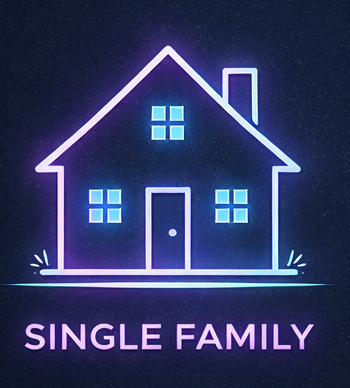
Reference UDO section: {{ permittedResidentialTags.singleFamily.supplementalRegulation }}
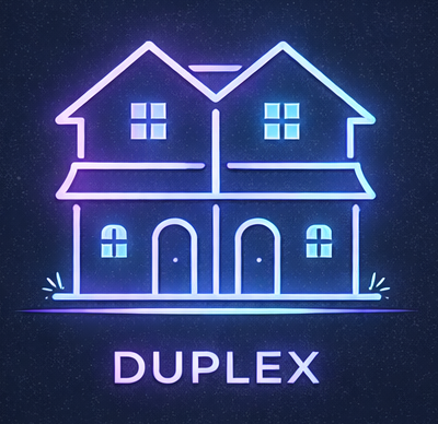
Reference UDO section: {{ permittedResidentialTags.duplex.supplementalRegulation }}
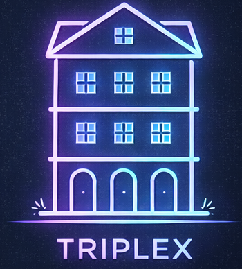
Reference UDO section: {{ permittedResidentialTags.triplex.supplementalRegulation }}
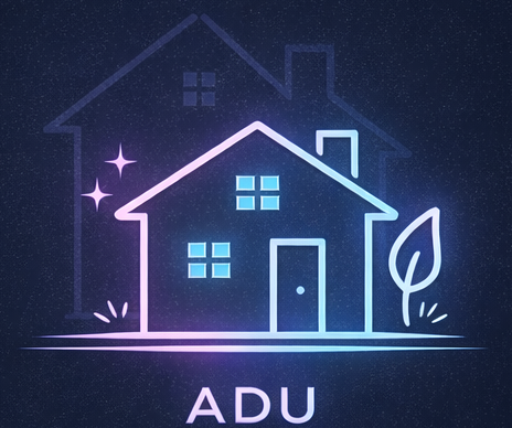
Reference UDO section: {{ permittedResidentialTags.adu.supplementalRegulation }}
Reference UDO section: {{ permittedResidentialTags.commercial.supplementalRegulation }}
Permitted by Right
{{ use }}
Permitted with Supplemental Standards
{{ use }}
Special Use Permit Required (Quasi-Judicial)
{{ use }}
Special Use Permit + Supplemental Standards
{{ use }}
Conditional Zoning Required
{{ use }}
Conditional Zoning + Supplemental Standards
{{ use }}
Loading setbacks...
SETBACKS FOR {{ currentZoningDistrict }}
Base Setbacks
| Setback | Criteria |
|---|---|
| Front | {{ (getBaseSetback('front') || {}).criteria || '—' }} |
| Side | {{ (getBaseSetback('side') || {}).criteria || '—' }} |
| Rear | {{ (getBaseSetback('rear') || {}).criteria || '—' }} |
| Corner | {{ (getBaseSetback('corner') || {}).criteria || '—' }} |
Front Setbacks
{{ setback.label || '—' }}
{{ setback.criteria || '—' }}
{{ setback.explanation || '—' }}
Section:
{{ sec }},
Side Setbacks
{{ setback.label || '—' }}
{{ setback.criteria || '—' }}
{{ setback.explanation || '—' }}
Section:
{{ sec }},
Rear Setbacks
{{ setback.label || '—' }}
{{ setback.criteria || '—' }}
{{ setback.explanation || '—' }}
Section:
{{ sec }},
Corner Setbacks
{{ setback.label || '—' }}
{{ setback.criteria || '—' }}
{{ setback.explanation || '—' }}
Section:
{{ sec }},
Additional Setbacks
Front
{{ setback.label || '—' }}
{{ setback.criteria || '—' }}
{{ setback.explanation || '—' }}
Section:
{{ sec }},
Side
{{ setback.label || '—' }}
{{ setback.criteria || '—' }}
{{ setback.explanation || '—' }}
Section:
{{ sec }},
Rear
{{ setback.label || '—' }}
{{ setback.criteria || '—' }}
{{ setback.explanation || '—' }}
Section:
{{ sec }},
Corner
{{ setback.label || '—' }}
{{ setback.criteria || '—' }}
{{ setback.explanation || '—' }}
Section:
{{ sec }},
Loading development standards...
DEV STANDARDS FOR {{ currentZoningDistrict }}
Base Standards
| Standard | Criteria |
|---|---|
| {{ formatCategoryName(category) }} | {{ getBaseStandard(category).criteria || '—' }} |
{{ formatCategoryName(category) }}
{{ standard.label || '—' }}
{{ standard.criteria || '—' }}
{{ standard.explanation || '—' }}
Section:
{{ sec }},
FLOOD ZONE INFORMATION
{{ group.fldZone }}
{{ group.zoneSubty }}
(BFE: {{ group.staticBfe }}{{ group.vDatum ? ' ' + group.vDatum : '' }})
{{ group.coveragePercent.toFixed(2) }}%
Total Coverage:
{{ floodZoneData.totalFloodZoneCoveragePercent.toFixed(2) }}%
WETLANDS INFORMATION
{{ wetland.wetlandType || 'Unknown Type' }}
{{ wetland.attribute }}
{{ wetland.coveragePercent.toFixed(2) }}%
{{ wetland.classification.shortSummary }}
{{ part.title }}
({{ part.code }})
{{ part.summary }}
Total Coverage:
{{ wetlandData.totalWetlandCoveragePercent.toFixed(2) }}%
SOIL INFORMATION
{{ soil.muname || soil.musym || 'Unknown' }}
({{ soil.areaSymbol }})
{{ soil.coveragePercent.toFixed(2) }}%
ZONING SUMMARY
ZONING DISTRICT:
{{ currentZoningDistrict || (parcelDetails && parcelDetails.zoningDistrict) || '—' }}
Zoom closer and select a parcel to view owner info, permitted uses and setback information.
{{ lineDrawingAlertMessage }}
{{ lineDrawingAlertMessage }}
{{ polygonDrawingAlertMessage }}
{{ polygonDrawingAlertMessage }}